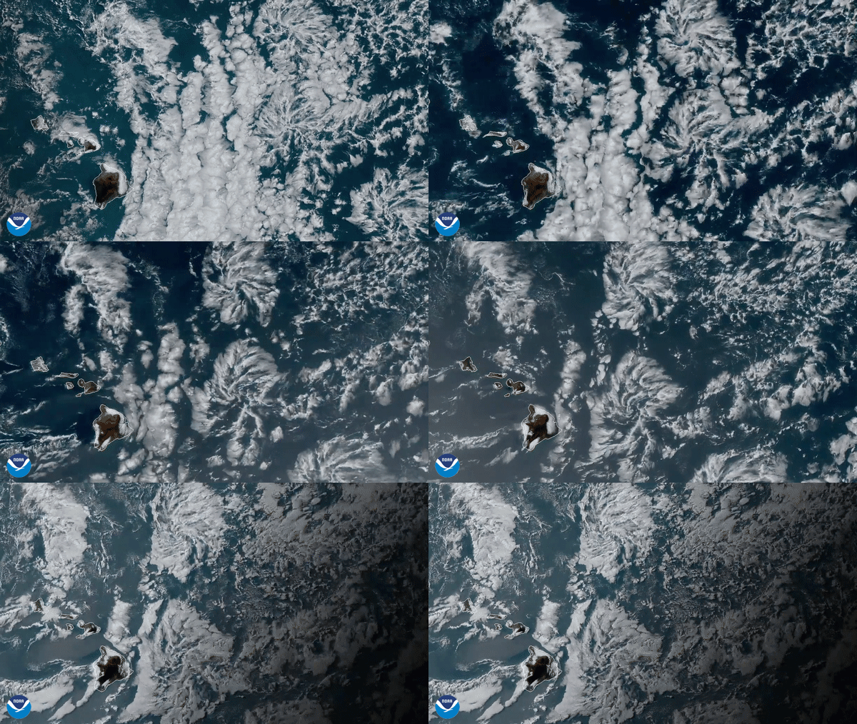
Convection is a vertical transport of heat and moisture in the atmosphere, especially by updrafts and downdrafts in an unstable atmosphere. Above - anvil cirrus plumes, towering cumulus clouds, and turret shaped mid-level clouds are all visible forms of convection. However, convection is not always made visible by clouds. Convection which occurs without cloud formation is called dry convection, while the visible convection processes are called moist convection.

NOAA-20 saw a series of thunderstorms bubbling up over southeastern Africa, which appear in this true color image captured by the satellite's VIIRS sensor above.


